

Software
Our software products were developed for all professional GIS surveyors and also other users who want to measure and navigate on the field. Easy to use applications with topological functions, device independent configuration and much more...
TopoLynx mobile GIS software comparsion
If you want to make your choice easier, please click on the button below, where you can get a detailed overview of our mobile software from the user perspective.

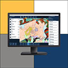
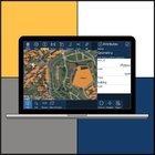
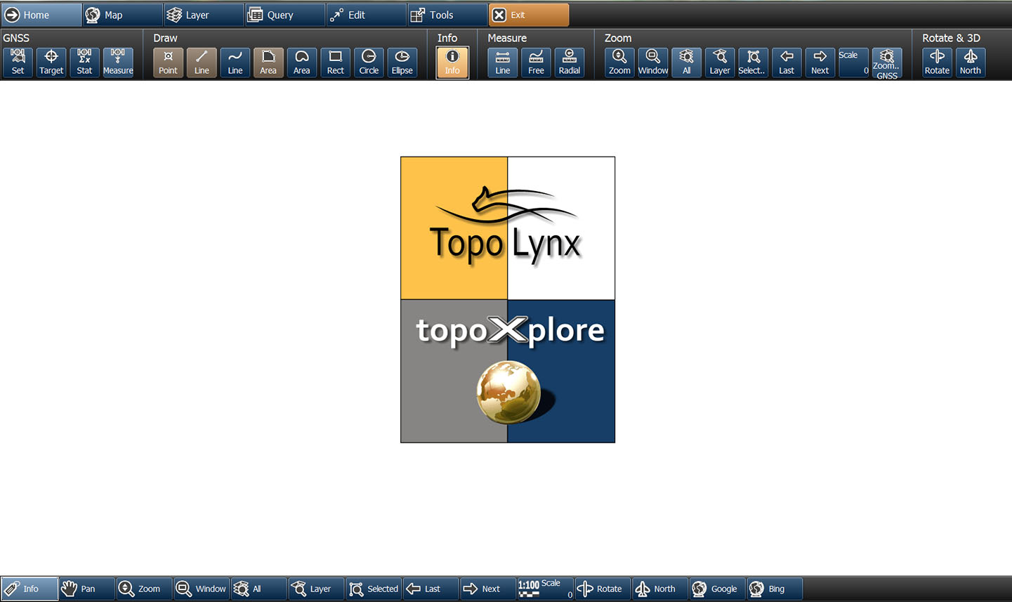
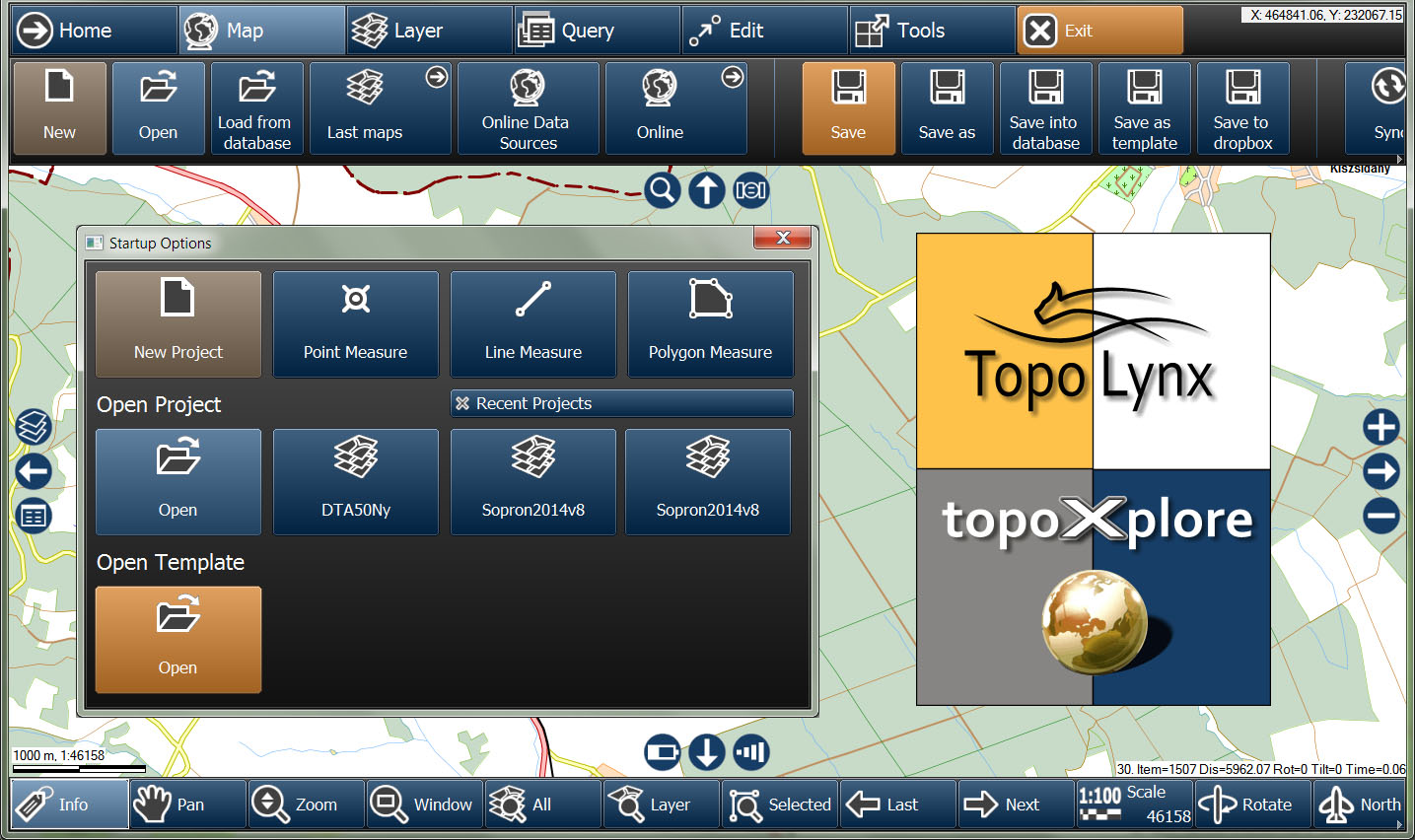
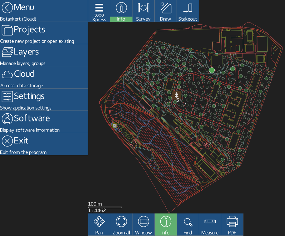
topoXpress
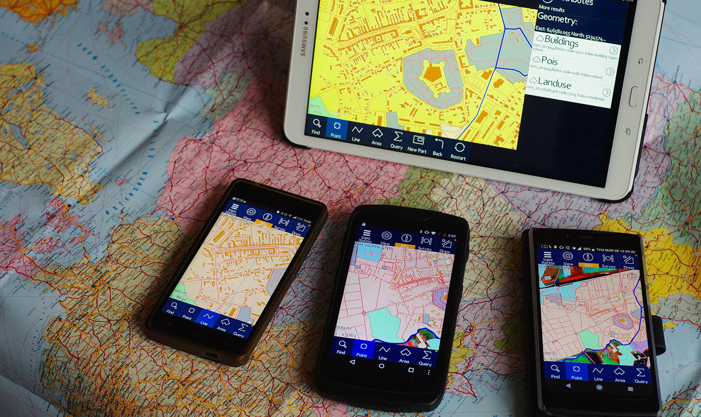
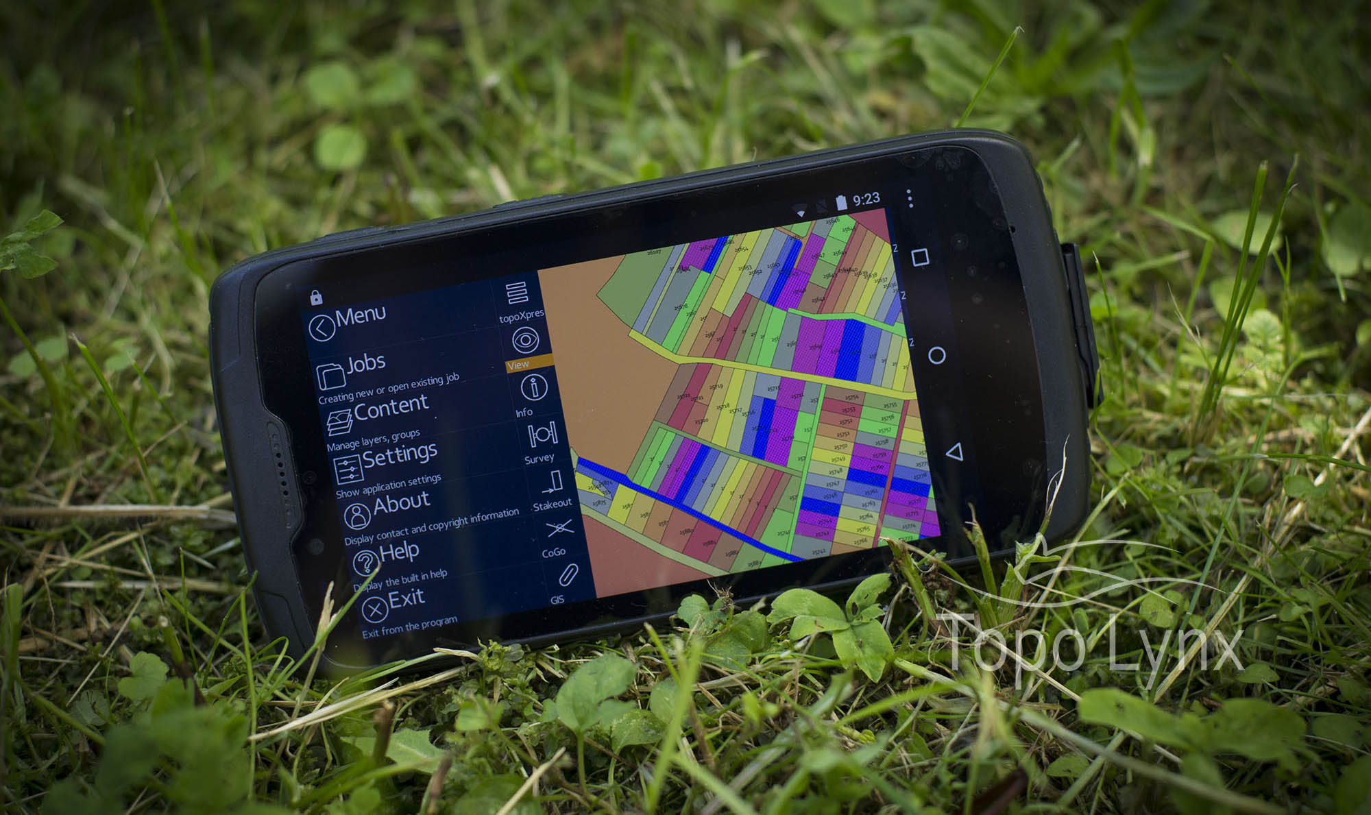
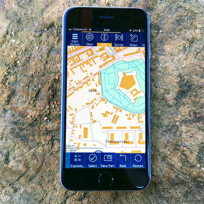
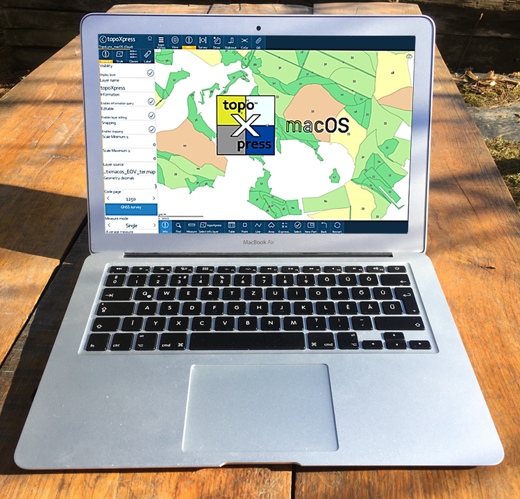
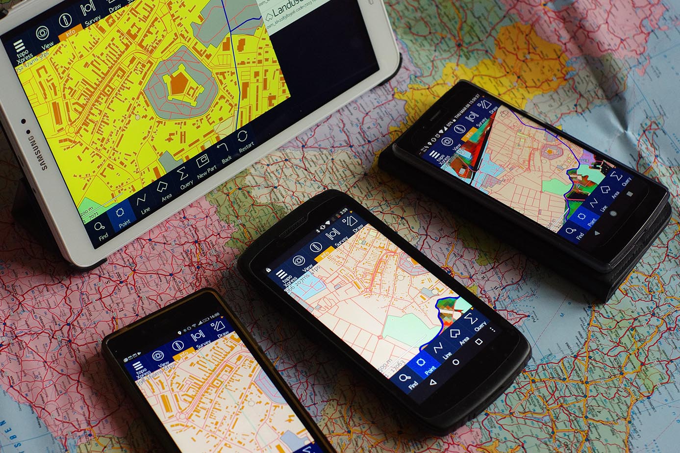
Cross-platform GIS software
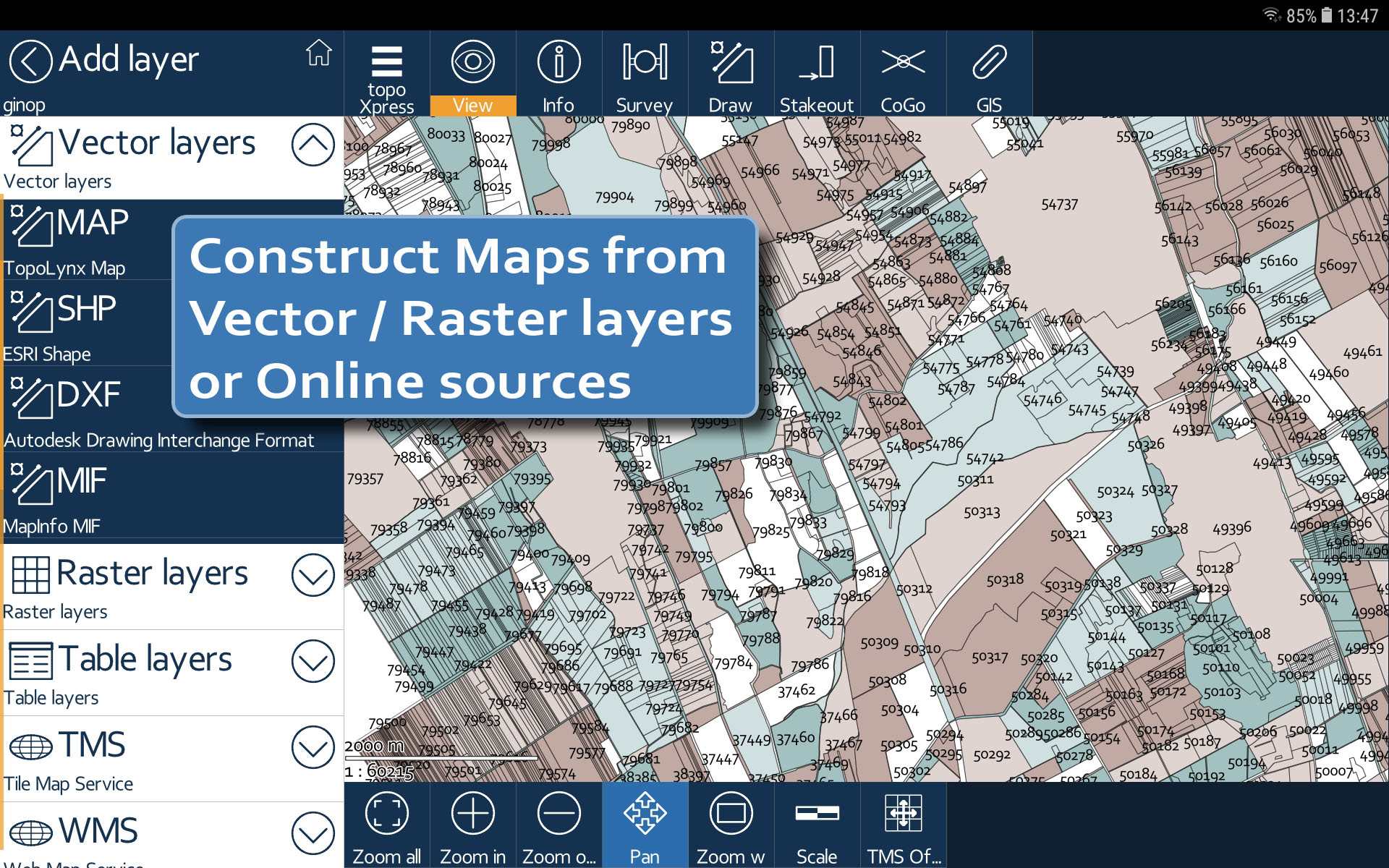
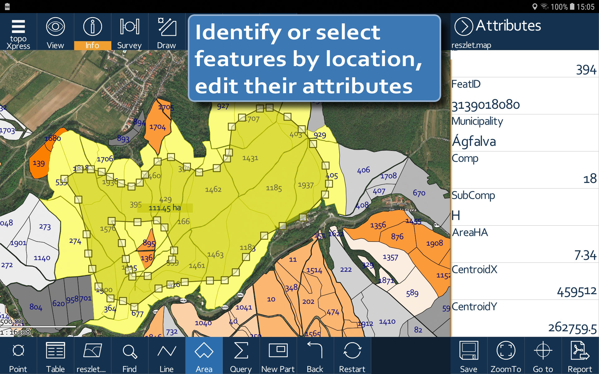
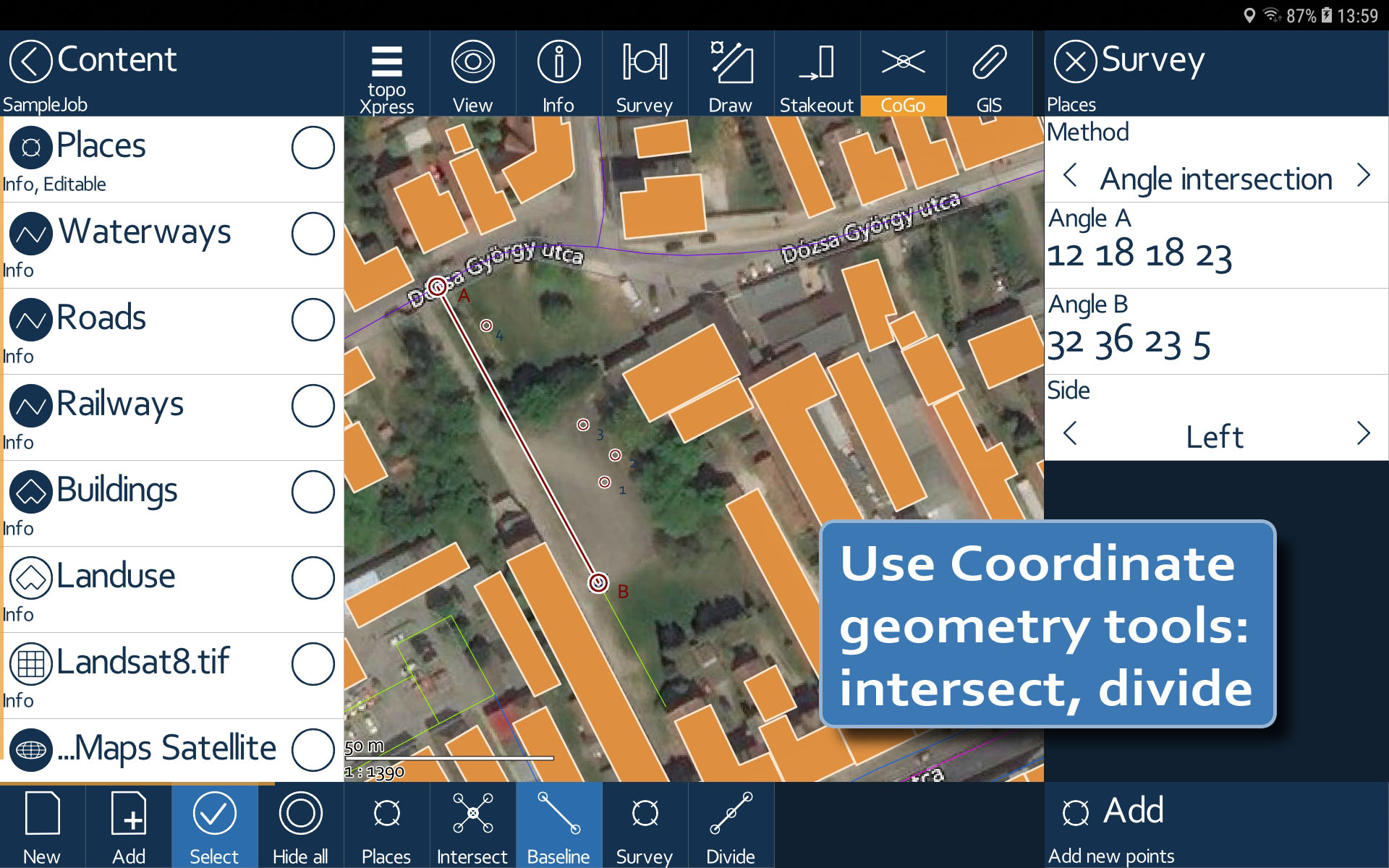
topoXpress is an efficient GIS and Surveying application for Windows®, Android™, macOS® and iOS®. It supports offline field data collection and online data processing in the office. topoXpress provides an intuitive and responsive user interface, portable cloud access, fast thematic mapping, GNSS surveying, stakeout and CoGo functions, smart forms, calculated fields on all platforms.

Downloads
Download and try our software!
Android version
Please follow the instructions in Google Play in order to install the application. Google Play and the Google Play logo are trademarks of Google LLC. Changelog
iOS version
iOS and App Store is a trademark of Apple Inc.
Changelog
Windows version
topoXpress Windows installer
{$version}
- Double-click the downloaded installer.
- Follow the on-screen instructions.
- Choose to run the program at the end of the installation process or run the software from your desktop.
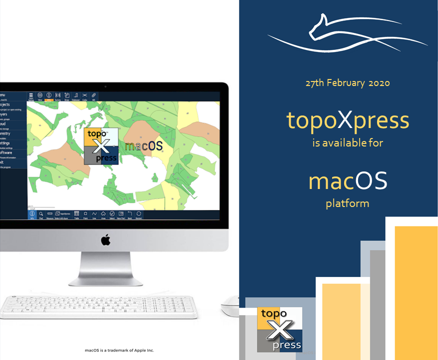
macOS® version
topoXpress macOS installer
(for macOS 10.8 and newer)
{$versionMACOS}
macOS is a trademark of Apple Inc.
- Double-click on the downloaded disk image in Finder.
- Drag the topoXpress icon to the right, into the Applications folder.
- After dragging into the Applications, the software can be launched from the Launchpad.
Windows portable
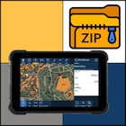
topoXpress Windows portable
{$versionZIP}
- Unzip the downloaded installer.
- Double-click on "exe" which belongs to your Windows platform.
If needed, you can use this alternative link for downloading
(although without automatic updates)
On the following links you can download topoXpress's brochures and guides.
topoXpress User Manual - English [PDF]
topoXpress brochure - English [PDF]
topoXpress Frequently Asked Questions - English [PDF]
topoXpress macOS guide - English [PDF]
topoXpress iOS/iPadOS guide - English [PDF]
topoXpress Bluetooth GNSS connection guide on Windows 10 - English [PDF]
topoXpress - Leica DISTO® connection guide for iOS - English [PDF]
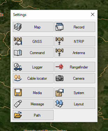
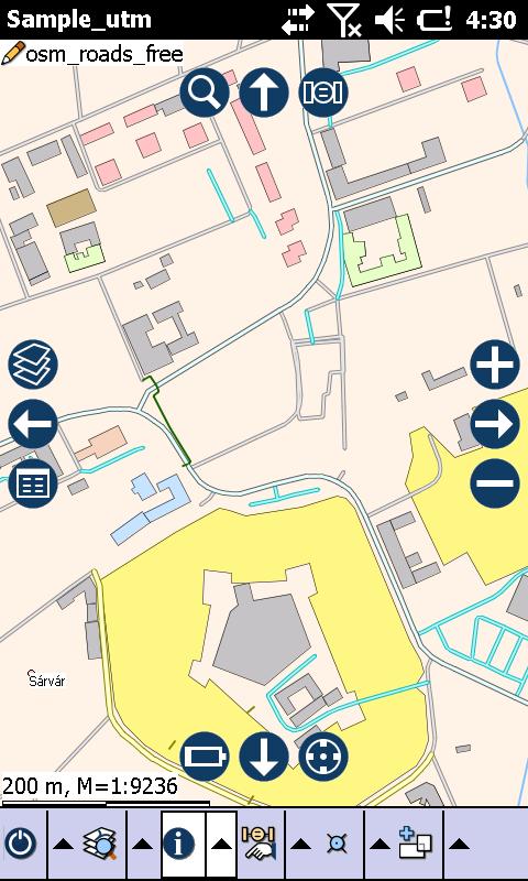
topoXplore
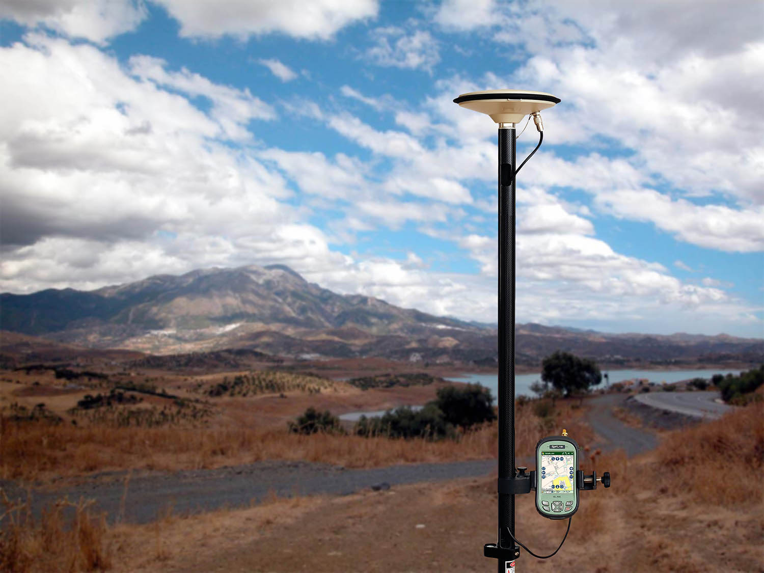
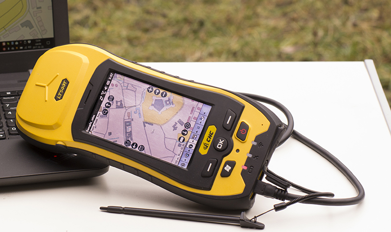
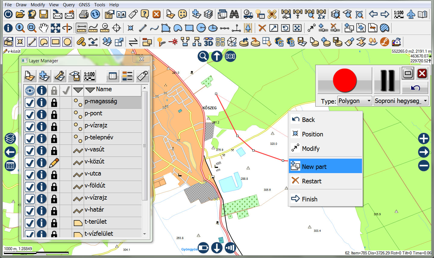
Mobile GIS data capture
topoXplore is a mobile application for location based data collection, surveying and mapping – with processing intelligence. It is equally suitable for GIS professionals and less trained staff and can be used as integral part of an enterprise-wide GIS infrastructure or stand-alone data capture tool. The software runs on Windows Mobile based devices and customers get a free desktop program for office use.
topoXplore offers users the following main benefits and unique features
|
Downloads
Download and try our software!
Mobile version
topoXplore Mobile installer
(for SD cards)
v1.20.05.04
- Unpack the downloaded ZIP archive to a folder on your PC.
- Copy the content of the folder to an empty SD card - we recommend to do this with a SD card reader, but you can copy it with the Windows Mobile Device Center.
- Insert your SD card into your GNSS receiver or PDA. The installation begins automatically - if not, please browse the SD card on your mobile device, search for the "2577" directory and launch "Autorun.exe".
- Start topoXplore from your home screen.
Desktop version
topoXplore Desktop installer
(for Windows desktop OS)
v1.21.05.19
- Double-click the downloaded installer.
- Follow the on-screen instructions.
- Choose to run the program at the end of the installation process or run the software from your desktop.
On the following links you can download topoXplore's brochure, reference guides.
topoXplore brochure - English [PDF]topoXplore Quick Reference Card - English [PDF]
topoXplore Reference Guide - English [PDF]
topoXplore Reference Guide Webhelp - English [HTML]
High accuracy GIS with topoXplore and Topcon HiPer SR - English [PDF]
About us
 Once upon a time, back in 1996, Mr. Kornél Czimber started to develop GIS algorithms and business logic. 20 years later, development of software products based on his research will continue in his new company. Each TopoLynx software product can be a link between your legacy GIS environment and fieldwork, this is the explanation for the company name.
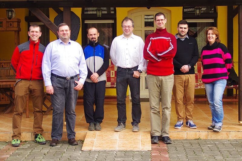
The experienced and long-serving team of the company is committed to make the new company successful, by developing excellent software products along with flexibility to meet unique needs and a quick support.
You can count on the expertise of our team

Kornél Czimber
managing director and mastermind of all software development projects

Szilvia Hestencz
spirit of office management, administration, finance and HR

József Markócs
sales, marketing and relationship all-rounder

Miklós Nagy
software developer and the Swiss army knife in forestry and remote sensing projects

Dávid Tisch
software developer and the grandfather of all PHP and web codes

Balázs Tóth
standing out the storm of support requests, testing software and creating maps
News
Development steps and progress will be continously published below. Follow our timeline.


Contact
With the form below you can feel free to contact us.
If you have any issues with the form, please write directly to info@nulltopolynx.hu e-mail address.